Boundary/Property Surveys
ALTA / ACSM Land Title Surveys
Large and small subdivisions
Topographic Surveys
Elevation Certificates
Prepare LOMA and ELOMA applications with FEMA
Construction Layout
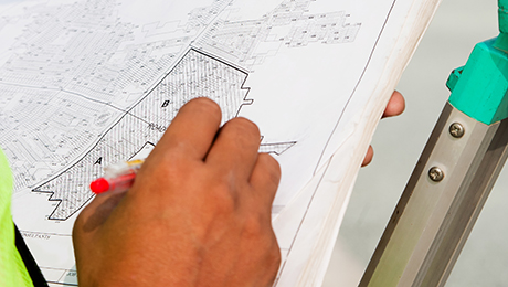
The purpose of a boundary survey is to locate the physical location of a property on the ground. A boundary survey of a property includes these steps:

The purpose of a subdivision survey is to locate the physical location of a property on the ground. A subdivision survey of a property includes these steps:

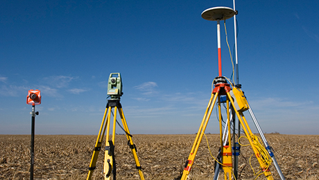
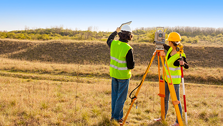
Topographic Surveys are used to identify and map the contours of the ground and existing features on the surface of the earth or slightly above or below the earth’s surface (i.e. trees, buildings, streets, walkways, manholes, utility poles, retaining walls, etc.). The purpose of a topographic survey is to serve as a base map for design professionals to design a residence or building of some type, roads, driveways, parking lots, bridges, or any other type of improvement on the land. It may be necessary to show property lines and the lines of easements over the property being surveyed, in order for a designer to accurately show zoning and other agency required setbacks. A topographic survey is occasionally necessary in a subdivision survey to assist the surveyor in complying with the municipality’s regulations for septic design and road design. We will coordinate closely with the Professional Engineer, Architect or Landscape Architect who is designing the new facilities.

An Elevation Certificate (EC) documents the elevation of your building for the floodplain managers enforcing local building ordinance, and for insurance rating purposes. The Elevation Certificate includes important information that is needed for determining a risk-based premium rate for a flood insurance policy. For example, the EC shows the location of the building, Lowest Floor Elevation, building characteristics, and flood zone. Your insurance agent will use the Elevation Certificate to compare your building’s elevation to the Base Flood Elevation (BFE) shown on the map being used for rating and determine the cost to cover your flood risk.

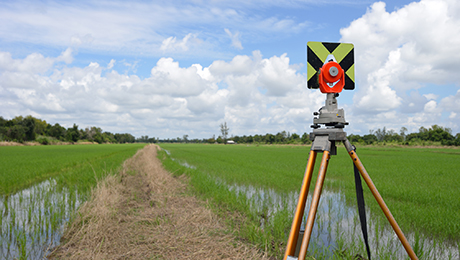
Site contractors often require a Land Surveyor to locate critical points on the ground so that they may begin the building/construction phase of a project. We will work closely to coordinate between design professionals and construction personnel to provide the necessary points to be marked on the ground. These points may be elevations for grading and drainage structures, building corners, curbing, easements, etc.

Williams & Edsall Land Surveyors P.C.
Copyright © Williams and Edsall Land Surveyors P.C.
Designed by Amy J. Stoddard Marketing & Design Services